WELLS Database Vancouver Island
British Columbia Ministry of Environment

Search WELLS Database
Brentwood Bay, Campbell River, Cedar, Cobble Hill, Colwood, Cowichan Valley, Courtenay,
Duncan, Errington, Lake Cowichan, Langford, Nanaimo, Nanoose Bay, Parksville, Qualicum Beach,
Port Alberni, Shawnigan Lake, Sooke, Sidney, Tofino, Ucluelet, Victoria, Yellow Point, including the Gulf Islands
Brentwood Bay, Campbell River, Cedar, Cobble Hill, Colwood, Cowichan Valley, Courtenay,
Duncan, Errington, Lake Cowichan, Langford, Nanaimo, Nanoose Bay, Parksville, Qualicum Beach,
Port Alberni, Shawnigan Lake, Sooke, Sidney, Tofino, Ucluelet, Victoria, Yellow Point, including the Gulf Islands
BC WELLS Database
Vancouver Island and Gulf Islands
The official Water Well Atlas BC, iMapBC, eWells, Water Data and Search Tools,
Water Well Regulations for Vancouver Island, Water Rights Database,
Vancouver Island Health Authority and Community Zoning Bylaws and Regulations
Vancouver Island and Gulf Islands
The official Water Well Atlas BC, iMapBC, eWells, Water Data and Search Tools,
Water Well Regulations for Vancouver Island, Water Rights Database,
Vancouver Island Health Authority and Community Zoning Bylaws and Regulations
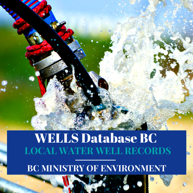
WELLS Database Vancouver Island, British Columbia Ministry of Environment online Water Well, Groundwater and Aquifer Database for Vancouver Island and the Gulf Islands.
The BC Well Search Tool is a free self-serve public system, check to see if your drilled water well on Vancouver Island or the Gulf Islands including water wells that neighbor your property are registered in the WELLS Database BC.
Not all water well information is available in the database because until 2016 it was still a voluntary process for local well drillers on Vancouver Island and the Gulf Islands to submit their water well drilling records.
Many island well records and water well logs dated prior to 2016 are easy to access and registered in the Ministry if Environment Water Well Database for Vancouver Island and neighboring Gulf Islands. Many local well drillers have been submitting water well drilling reports for a number of years.
Search the BC WELLS Database Vancouver Island by the ID Plate Number if one is available on the water well head or posted near the pump-house area, you can also search by street name or other search information that fits the required WELLS Database BC criteria.
Explore the WELLS Database Vancouver Island for Brentwood Bay, Campbell River, Cedar, Cobble Hill, Colwood, Cowichan Valley, Courtenay, Duncan, Errington, Lake Cowichan, Langford, Nanaimo, Nanoose Bay, Parksville, Qualicum Beach, Port Alberni, Shawnigan Lake, Sooke, Sidney, Tofino, Ucluelet, Victoria, and Yellow Point.
Search the Wells Database for Gulf Islands including Pender Islands, Gabriola Island, Galiano Island, Mayne Island, Saturna Island and Salt Spring Island, Thetis Island, Deman Island, Hornby Island and Texada and of the smaller surrounding islands that rely on water wells and groundwater resources.
Exploring the BC WELLS Database Vancouver Island for technical data, information and resources helps in planning and the safeguarding of the island's water resources and aquifers.
WELLS Database Vancouver Island
British Columbia Ministry of Environment
Search Local WELLS Database and Resources
Search Local WELLS Database and Resources
WELLS Database Vancouver Island
The British Columbia Ministry of Environment WELLS Database Vancouver Island is used to search for local water resources and well records for Vancouver Island and the Gulf Islands.
Local well drilling records or well logs may be located in the system by using legal descriptions, well locations, or construction details of a registered local drilled water well.
To learn how to use WELLS Database Vancouver Island scroll down on the page
Local well drilling records or well logs may be located in the system by using legal descriptions, well locations, or construction details of a registered local drilled water well.
To learn how to use WELLS Database Vancouver Island scroll down on the page
iMapBC Vancouver Island and Gulf Islands
This is an online mapping system for water wells on Vancouver Island & the Gulf Island, it is similar to the British Columbia Water Resources Atlas as described above.
Using the Spatial Overlay Engine (SOE) tools it is possible to select records for multiple water wells in Fraser Valley or other areas in the province and export them in various downloadable formats (including as spreadsheet or (CSV) comma delimited files.)
|
Water Well Vancouver Island
Ministry of Environment Water Well Protection Kit Click Here BC Groundwater Protection Regs Water Well Regulations Vancouver Island & Gulf Islands Click Here VIHA - Drinking Water Resources Health Regulations Vancouver Island & Gulf Islands Vancouver Island VIHA Gulf Islands VIHA |
Canadian Drinking Water Guidelines
Drinking Water Guideline for Vancouver Island Health Canada Click Here Island Well Drilling Cost Vancouver Island & Gulf Islands Well Drilling Cost Water Rights Database BC Water Rights Search Tool Vancouver Island Click Here |
Local Well Drilling on Vancouver Island & Gulf Islands
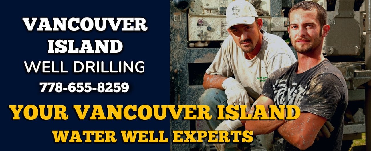
For expert water well drilling advice or the cost to drill a well on Vancouver Island or Gulf Islands contact Water Well Drilling Vancouver Island directly at 778-655-8529
If preparing to drill a well and local water well drilling information is required including the well drilling cost for the islands as not all water well drilling information for either Vancouver Island or the Gulf Islands will be available in the WELLS Database BC.
Your local well drillers on Vancouver Island are happy to provide additional local information for the following communities.
WELL DRILLING VANCOUVER ISLAND SERVING
Brentwood Bay | Campbell River | Cedar | Cobble Hill | Colwood | Cowichan Valley | Courtenay | Duncan | Errington | Lake Cowichan | Langford | Nanaimo | Nanoose Bay | Parksville | Qualicum Beach | Port Alberni | Shawnigan Lake | Sooke | Sidney | Tofino | Ucluelet | Victoria | Yellow Point
Contact Well Drilling Vancouver Island
Phone: 778-655-8529
Well Drilling Vancouver Island
WELL DRILLING GULF ISLANDS SERVING
The Pender Islands | Gabriola Island | Galiano Island | Mayne Island | Saturna Island | Salt Spring Island
Contact Well Drilling Gulf Islands for Information
Phone: 778-655-8529
Well Drilling Gulf Islands
The Pender Islands | Gabriola Island | Galiano Island | Mayne Island | Saturna Island | Salt Spring Island
Contact Well Drilling Gulf Islands for Information
Phone: 778-655-8529
Well Drilling Gulf Islands
Vancouver Island & Gulf Islands
Land and Water Resource Data
Legal Disclaimer:
The province does not take any responsibility or obligation for the accuracy of any data supplied. In no way should the information from the WELLS Database BC for Vancouver Island and the Gulf Island be used as grounds for making any financial or any other commitments.
If you require legal information consult a lawyer not the BC WELLS Database.
If you are purchasing real estate with a water well it’s also important that you do your due diligence and not rely on the data provided by the Ministry of Environment WELLS Database for BC.
The WELLS Database BC is simply a resource and is not to be deemed as legal documentation.
The WELLS Database BC may not provide specific information for well drilling Gulf Islands and on Vancouver Island.
Well Drilling Cost Vancouver Island for the current cost to drill a well or community water well information for Vancouver Island.
Well Drilling Vancouver Island provides free online water well information to learn more about drilling for water on Vancouver Island and Gulf Islands.
Well Drilling Cost Gulf Islands for Water Well Drilling on the Gulf Islands including the current cost to drill a well or local water well information for the Gulf Islands. Well Drilling Gulf Islands provide local water well information online for the Gulf Island including Pender Islands, Gabriola Island, Galiano Island, Mayne Island, Saturna Island and Salt Spring Island, Thetis Island, Deman Island, Hornby Island and Texada and of the smaller surrounding islands.
How to Use the WELLS Database Vancouver Island
Easily Locate local water well information, groundwater resources, aquifers, local well drilling, well drilling costs, water testing, local well pump and repair companies. Water well protection resources and local VIHA resources for Vancouver Island and the Gulf Islands.
Easily Locate local water well information, groundwater resources, aquifers, local well drilling, well drilling costs, water testing, local well pump and repair companies. Water well protection resources and local VIHA resources for Vancouver Island and the Gulf Islands.
WELLS Database BC for Local Water Well Records
The official WELLS Database BC for registered water wells, groundwater and aquifer data for the province allows public access to search for information about an individual water well. Search or upload data to the WELLS Database BC.
The BC Water Resource Atlas and the WELL Database BC user guide provides a detailed explanation to locate data for registered water wells.
Registering an existing water well is not a legal requirement, it's done so on a voluntary basis, as a result not all water wells in British Columbia will be located in the database system.
Thousands of drilled water wells on Vancouver Island and neighboring Gulf Islands provide residential properties, farms, municipalities and many industries on the islands with access to fresh groundwater resources.
How to Search WELLS Database BC
There are several possible approaches when searching the BC WELLS Database Vancouver Island for relevant information on an individual water well.
Utilize Report #1 or Report #7 if you currently have an attached or posted ID Plate Number or Well Tag Number.
Use Report #2 if you just have access to basic information or facts with reference to a certain water well, such as the legal description of a property.
BC Water Resources Atlas Vancouver Island and Gulf Islands
BC Water Resources Atlas for Vancouver Island and the Gulf Islands is an iMapBC program with increased inquiry performance to make it easy to drill down to water related data for the islands.
You may be interested in knowing where your local water source comes from on Vancouver Island or the surrounding Gulf Islands and how the water quality compares with other area.
Use the BC Water Resource Atlas application to find detailed information about your water resources on Vancouver Island and the Gulf Islands.
The BC Water Resources Atlas presents information related to the water resources on Vancouver Island, the Gulf Islands and including the province of British Columbia, such as watersheds, water quantity and quality monitoring sites, aquifers, water wells and flood protection works.
Users of the data warehouse who have experience using Geographic Information Systems (GIS) and advanced mapping applications may also refer to the following services.
Launch the BC Water Resources Atlas for Vancouver Island and the Gulf Islands
Ministry of Environment Discover Data Service
MOE Discover Data Service Vancouver Island allows users to determine what data is available online for Vancouver Island Communities including Brentwood Bay, Campbell River, Cedar, Cobble Hill, Colwood, Cowichan Valley, Courtenay, Duncan, Errington, Lake Cowichan, Langford, Nanaimo, Nanoose Bay, Parksville, Qualicum Beach, Port Alberni, Shawnigan Lake, Sooke, Sidney, Tofino, Ucluelet, Victoria, Yellow Point
MOE Discover Data Service Gulf Islands including Pender Islands, Gabriola Island, Galiano Island, Mayne Island, Saturna Island and Salt Spring Island, Thetis Island, Deman Island, Hornby Island and Texada and of the smaller surrounding islands.
The available layers include water well, aquifers, and other spatial data sets for the area.
MOE Data Download Service for Vancouver Island and the Gulf Islands
The Ministry of Environment Data Distribution Service and Data Download is an online self-serve system for Vancouver Island and the Gulf Islands that allows users to order information for download directly from the warehouse to their own computers.
The available data layers can be determined using the Discover Data Service as explained. The user may select features from a data layer of interest for a specific geographic area and export the data in several formats.
Download Water Data water well data for Vancouver Island & Gulf Island managed by MOE.