WELLS Database for Duncan
Vancouver Island
British Columbia Ministry of Environment
Search WELLS Database for Duncan
Cowichan Valley | Cedar| Chemainus | Cobble Hill | Cowichan Bay | Cowichan Station |
Crofton | Duncan | Genoa Bay | Glenora | Honeymoon Bay | Koksilah | Ladysmith |
Lake Cowichan | Malahat | Maple Bay | Mesachie Lake | Mill Bay | Port Renfrew |
Satlam | Shawnigan Lake | Yellow Point | Youbou | Westholme

Cowichan Valley
Duncan Well Drilling Resources
The official Water Well Duncan Atlas BC, iMapBC, eWells, Water Well Data and Search Tools,
Water Well Regulations for Duncan and the Cowichan Valley, Water Rights Database,
Environmental Health Authority Duncan - VIHA, Local Zoning Bylaws and Regulations for
Cowichan Valley Regional District and Municipality of North Cowichan
WELLS Database Duncan, British Columbia Ministry of Environment online Water Well, Groundwater and Aquifer Database for information and water well reports for local drilled water wells in Duncan and the Cowichan Valley.
The Ministry of Environment WELLS Database emerges as a crucial resource for those researching drilled water wells in Duncan and the Cowichan Valley. Duncan WELL Database offers comprehensive local water well information, serving as a vital tool for understanding Vancouver Island groundwater characteristics and well data.
Registered Water Wells in Duncan and Cowichan Valley well data is available at no cost. If you own an unregistered domestic water well on your rural property in the Cowichan Valley, registration of your well creates a record of the water source, Provincial Groundwater Wells and Aquifer to help ensure your needs are taken into account in decision-making processes, especially during periods of water scarcity. Learn how to register your domestic water well in Duncan and the Cowichan Valley with the Province of British Columbia.
British Columbia Domestic Water Well Registration Form
The BC Well Search Tool for the Cowichan Valley is a self-serve local water well data system.
Search the WELLS Database to locate your drilled water well in Duncan or the Cowichan Valley.
You can explore the WELLS Database BC to find records of registered water wells, including details on drilled wells situated on adjacent properties throughout the Cowichan Valley.
Please note, the database might not contain information for every property, as registering water wells in British Columbia was voluntary until 2016. Starting February 29, 2016, well drillers in Duncan and across the province became obligated to submit records of their drilling activities.
If you are searching for a water well drilling report for a water system in the Duncan area that does not have a registered well, it's possible that the well log is on file and available from the well driller responsible for installing the water well.
Always search the WELLS Database Cowichan Valley first, as local well drillers did submit well reports and documents to the Ministry of Environment long before it became a mandatory requirement.
Search the WELLS Database for Duncan by the property address, Well ID Plate Number, Well Tag Number, PID - Number, Parcel, etc. The well tag # may be attached to the well head or, less likely, posted near the pump-house area, it is possible to search by street name or other search parameters that fit the required WELLS Database BC criteria.
Sometimes a well, typically an older one, may not seem searchable by any of the above but you may be able to track a neighbouring property and locate the well log that you are searching for by identifying the parcel that may have a blue dot indicating water well located on a subject parcel. Don't give up if it looks like there's not a water well record available for a specific well Sometimes it just takes a bit of searching, even old wells drilled back into the 50s and 60s can often be located.
It is important to note that although the information regarding the depth and construction of a well on the drilling report may be accurate, it is possible for the well's output to vary seasonally or decrease over time. In some cases, there may also be an increase in the well's output after it is drilled. If you are planning to purchase real estate with a water well in the Cowichan Valley, it would be very wise to rely on more than just the drilling report.
The cost of drilling a well on Vancouver Island in 2024 is at an all-time high, if you unexpectedly purchase real estate with a water well that goes dry you may suddenly find yourself saddled with a significant financial burden!
Learn more about the Vancouver Island Water Well Drilling Costs
It's essential to conduct thorough research and be well-prepared before purchasing a property. Remember that your Cowichan Valley real estate agent is not an expert in water well systems. If they attempt to represent the water well in any capacity, it may not be in your best interest. It is highly recommended to have a professional inspection carried out on the water well system before finalizing the deal and removing any related conditions, including water sample testing.
Explore the WELLS Database for Duncan and surrounding Cowichan Valley, including Cedar, Chemainus, Cobble Hill, Cowichan Bay, Cowichan Station, Crofton, Genoa Bay, Glenora, Honeymoon Bay, Koksilah, Ladysmith, Lake Cowichan, Malahat, Maple Bay, Mesachie Lake, Mill Bay, Port Renfrew, Satlam, Shawnigan Lake, Yellow Point, Youbou, and Westholme on Vancouver Island.
Exploring the BC WELLS Database for technical data, information and resources will help in planning and the safeguarding of the Cowichan Valley's water resources and aquifers.
WELLS Database Duncan
BC Ministry of Environment
Search Duncan WELLS Database and Resources
Search Duncan WELLS Database and Resources
WELLS Database Cowichan Valley
The British Columbia Ministry of Environment WELLS Database Cowichan Valley is used to search for local water resources and well records the Duncan area and through-out the Cowichan Valley on Vancouver Island.
Local well drilling records or well logs may be located in the system by using legal descriptions, well locations, or construction details of a registered local drilled water well.
To learn how to use WELLS Database Duncan scroll down on the page
iMapBC Duncan and the Cowichan Valley
This is an online mapping system for water wells located within the Cowichan Valley, similar to the British Columbia Water Resources Atlas as previously described.
Using the Spatial Overlay Engine (SOE) tools it is possible to select records for multiple water wells in the Cowichan Valley or other areas in the province and export them in various downloadable formats (including as spreadsheet or (CSV) comma delimited files.)
|
Water Well Cowichan Valley
Ministry of Environment Water Well Protection Kit Click Here BC Groundwater Protection Regs Water Well Regulations Vancouver Island & Gulf Islands Click Here VIHA - Drinking Water Resources Health Regulations Duncan & Cowichan Valley VIHA Duncan VIHA Gulf Islands |
Canadian Drinking Water Guidelines
Drinking Water Guidelines for Cowichan Valley Health Canada Click Here Well Drilling Cost Duncan Cowichan Valley Well Drilling Duncan Water Rights Database BC Water Rights Search Tool Cowichan Valley Click Here |
Well Drilling Duncan and Cowichan Valley
For expert water well drilling advice or and estimate for the cost to drill a well in Duncan contact Vancouver Island Well Drilling Duncan directly at 778-655-8529
If preparing to drill a well in the Cowichan Valley it's also important to be aware of any local bylaws that may affect you. You may also wish to check your local by-law office for all information prior to drilling a well in Duncan.
Cowichan Valley Regional District Bylaws
Municipality of North Cowichan Bylaws
Your Duncan well drillers are happy to provide additional local information regarding well drilling in Duncan or the surrounding communities of the Cowichan Valley.
Well Drilling Duncan provides well drilling cost estimates online FREE of charge and without obligation.
Request the Cost of Well Drilling in Duncan
WELL DRILLING DUNCAN SERVING
Cedar | Chemainus | Cobble Hill | Cowichan Bay | Cowichan Station | Crofton | Duncan | Genoa Bay | Glenora | Honeymoon Bay | Koksilah | Ladysmith | Lake Cowichan | Malahat | Maple Bay | Mesachie Lake | Mill Bay | Port Renfrew | Satlam | Shawnigan Lake | Yellow Point | Youbou | Westholme
Contact Well Drilling Duncan
Phone: 778-655-8529
www.ColleenRoberts.com
Duncan & Cowichan Valley
Land and Water Resource Data
Legal Disclaimer:
The province does not take any responsibility or obligation for the accuracy of any data supplied. In no-way should the information from the WELLS Database BC for Duncan or the Cowichan Valley be used as grounds for making any financial or any other commitments.
If you require legal information consult a lawyer not the BC WELLS Database.
If you are purchasing real estate with a water well in the Cowichan Valley it’s important that you do your due-diligence and not rely on the data provided by the Ministry of Environment WELLS Database for BC.
The WELLS Database Duncan is simply a resource and is not to be deemed as legal documentation.
How to Use the WELLS Database Vancouver Island
Easily Locate local water well information, groundwater resources, aquifers, local well drilling, well drilling costs, water testing, local well pump and repair companies. Water well protection resources and local VIHA resources for Vancouver Island and the Gulf Islands.
Easily Locate local water well information, groundwater resources, aquifers, local well drilling, well drilling costs, water testing, local well pump and repair companies. Water well protection resources and local VIHA resources for Vancouver Island and the Gulf Islands.
WELLS Database BC for Duncan Water Well Records
The official WELLS Database Duncan for registered water wells, groundwater and aquifer data for the province allows public access to search for information about an individual water well. Search or upload data to the WELLS Database BC.
The BC Water Resource Atlas and the WELL Database BC user guide provides a detailed explanation to locate data for registered water wells.
Registering an existing water well is not a legal requirement, it's done so on a voluntary basis, as a result not all water wells in British Columbia will be located in the database system.
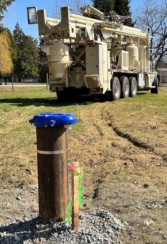
There are thousands of drilled water wells on Vancouver Island and the neighboring Gulf Islands providing residential properties, farms, municipalities and many industries on the islands with access to fresh groundwater resources.
Many areas of Duncan and the Cowichan Valley solely rely on drilled water wells and the expertise of the local Duncan well drillers.
The official WELLS Database Duncan for registered water wells, groundwater and aquifer data for the province allows public access to search for information about an individual water well. Search or upload data to the WELLS Database BC.
The BC Water Resource Atlas and the WELL Database BC user guide provides a detailed explanation to locate data for registered water wells.
Registering an existing water well is not a legal requirement, it's done so on a voluntary basis, as a result not all water wells in British Columbia will be located in the database system.
There are thousands of drilled water wells on Vancouver Island and the neighboring Gulf Islands providing residential properties, farms, municipalities and many industries on the islands with access to fresh groundwater resources.
Many areas of Duncan and the Cowichan Valley solely rely on drilled water wells and the expertise of the local Duncan well drillers.

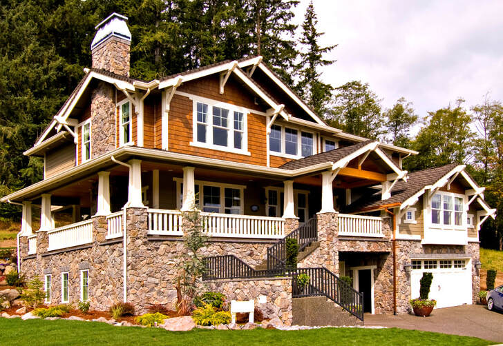
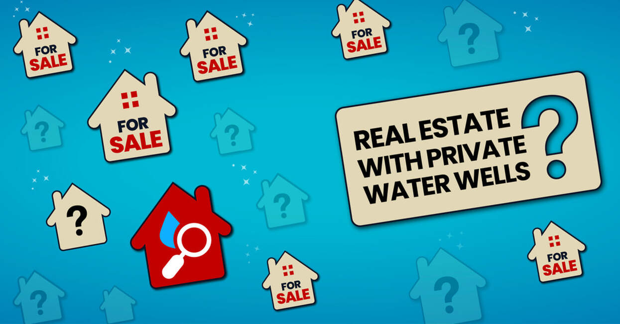
Real Estate with Water Wells in the Cowichan Valley
When purchasing Real Estate with a Water Well in Duncan or Cowichan, you may be entering a "buyer beware situation" and it's very important to gather all relevant information prior to removing subjects on your offer to purchase.
To protect your legal and financial interests, most real estate agents will recommend that a "subject to water well information clause" be added to your offer to purchase.
Request a couple of weeks to gather all required data regarding the water well servicing the property.
When working with a Duncan Real Estate agent who serves the Cowichan Valley whether listing or purchasing property with a water well, it's, important to work with an agent who has expertise and the ability to represent your best interest.
There's simply much more involved when representing buyers and sellers who own property with water wells and septic systems, as a rule.
Some agents are specialists in marketing these types of properties, so qualify your agent. Use the WELLS Database Cowichan Valley to research the surrounding properties of the area that you are purchasing to learn more about the neighbouring water wells in the neighbourhood.
How to Search WELLS Database BC
There are several possible approaches when searching the BC WELLS Database Duncan for relevant information on an individual drilled water well in the Duncan or Cowichan area.
Utilize Report #1 or Report #7 if you currently have an attached or posted ID Plate Number or Well Tag Number.
Use Report #2 if you just have access to basic information or facts with reference to a certain water well, such as the legal description of a property.
BC Water Resources Atlas Cowichan Valley
BC Water Resources Atlas for Duncan and the Cowichan Valley is an iMapBC program with increased inquiry performance to make it easy to drill down to water related data for the islands.
You may be interested in knowing more about your local water source in your area or the surrounding areas in Duncan and the Cowichan Valley. Also learn how water quality compares from one area to another.
Use the BC Water Resource Atlas application to find detailed information about your water resources on Vancouver Island and the Gulf Islands.
The BC Water Resources Atlas presents information related to the water resources on Vancouver Island, the Gulf Islands and including the province of British Columbia, such as watersheds, water quantity and quality monitoring sites, aquifers, water wells and flood protection works.
Users of the data warehouse who have experience using Geographic Information Systems (GIS) and advanced mapping applications may also refer to the following services.
Launch the BC Water Resources Atlas for Vancouver Island and the Gulf Islands
Ministry of Environment Discover Data Service
MOE Discover Data Service Duncan allows users to determine what data is available online for the Cowichan Valley communities including Cedar, Chemainus, Cobble Hill, Cowichan Bay, Cowichan Station, Crofton, Duncan, Genoa Bay, Glenora, Honeymoon Bay, Koksilah, Ladysmith, Lake Cowichan, Malahat, Maple Bay, Mesachie Lake, Mill Bay, Port Renfrew, Satlam, Shawnigan Lake, Yellow Point, Youbou, Westholme on Vancouver Island
The available layers include water well, aquifers, and other spatial data sets for the area.
MOE Data Download Service for Cowichan Valley Region on Vancouver Island
The Ministry of Environment Data Distribution Service and Data Download is an online self-serve system for Vancouver Island and the Gulf Islands that allows users to order information for download directly from the warehouse to their own computers.
The available data layers can be determined using the Discover Data Service as explained. The user may select features from a data layer of interest for a specific geographic area and export the data in several formats.
Download Water Data water well data for Duncan and the Cowichan Valley managed by MOE.